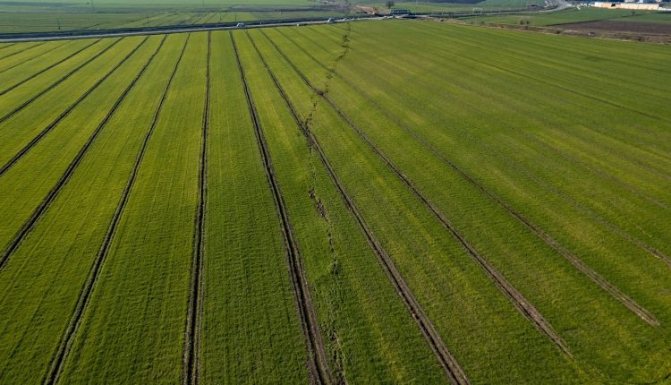
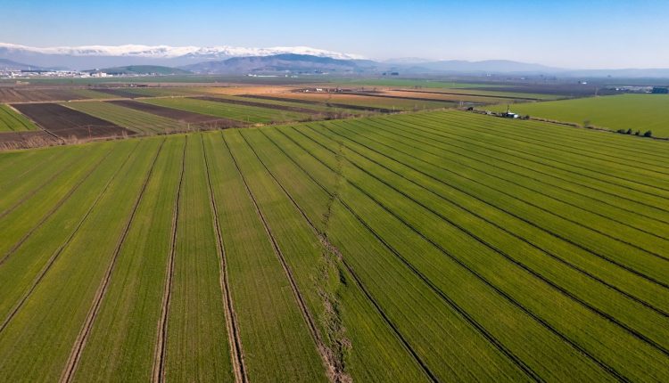
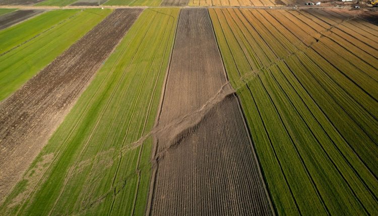
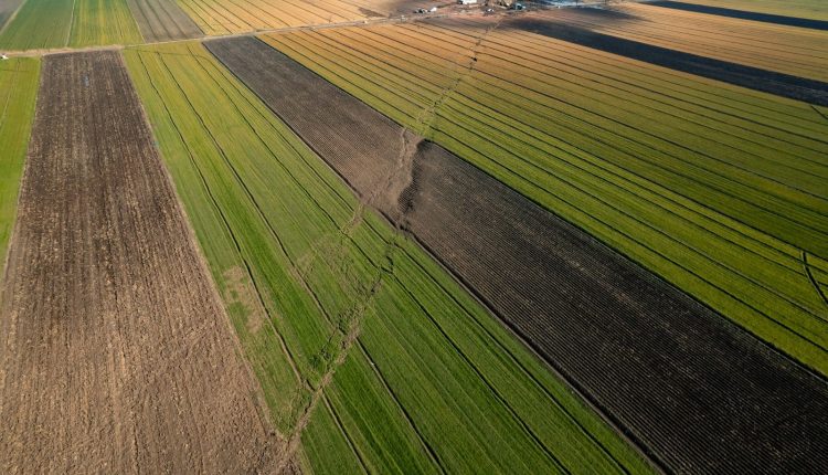
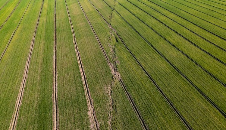
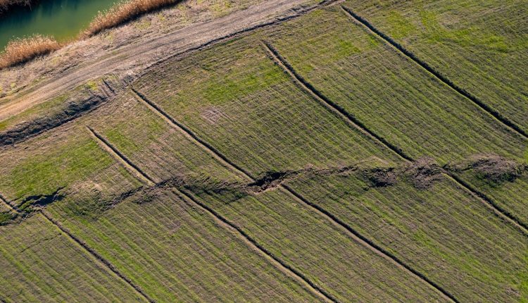
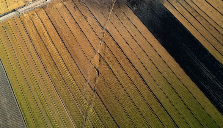
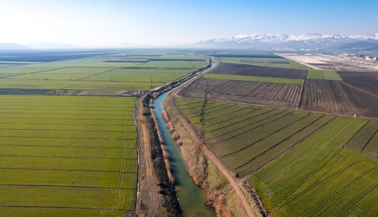
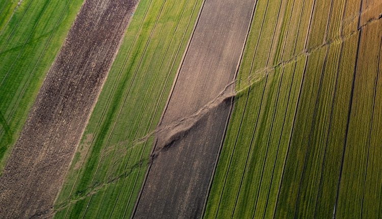
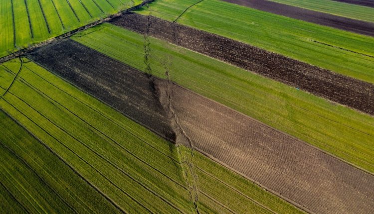
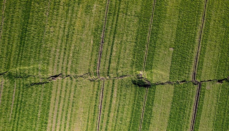
The deadly earthquake that recently struck 10 provinces in Türliye has caused immense suffering and destruction. In the wake of this tragedy, the kilometers-long fault line in Kahramanmaraş has been imaged by a drone to reveal the intensity of the seismic activity.
Cinematographer Muhammet Kösem, who is making a documentary about the earthquake, had the opportunity to view the fault line from the air. The drone camera clearly showed the fault line stretching for kilometers, and the fields divided into two by the fracturing of the ground.

